
Reviewed by the TimeMarkerGps content team on August 18, 2026.
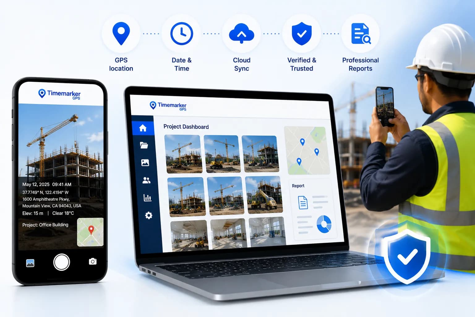
TimeMarkerGps is a field photo management workflow for teams that need more context than a standard camera roll provides. A supported capture can keep the image together with its recorded time, GPS location, project, team member, notes, and configured watermark information. The web workspace then helps authorized users organize, review, map, share, and export those records.
This guide explains what that means in practice, where the verification workflow fits, and what the information does—and does not—prove.
What is a traceable jobsite photo?
A traceable jobsite photo is an image connected to enough capture and project context for another person to understand the record later. Useful context may include:
- the project or work order;
- the recorded capture date and time;
- the device-reported GPS coordinate or location;
- the team member associated with the capture;
- notes, labels, weather, or configured custom fields; and
- a consistent file, sharing, and retention process.
“Traceable” does not mean that a photo proves every fact about a job. GPS accuracy can vary with the device, permissions, buildings, terrain, and signal conditions. Notes can also be incomplete. The photo should be reviewed with the wider project record and your organization’s collection procedures.
How the TimeMarkerGps workflow works
1. Select the project before capture
Starting in the correct project reduces sorting later. The field user can capture the required view and add a concise note when the important context is not visible in the image.
2. Record time and location context
TimeMarkerGps associates supported captures with recorded time and device location data. Teams should enable the required location permissions and confirm their own capture procedure before depending on location records for a regulated or contractual workflow.
3. Sync records to the shared workspace
When connectivity is available, project records synchronize to the team workspace. Supported offline workflows can capture records without a connection, but users should confirm that pending uploads finish after reconnecting.
4. Review in gallery, sheet, or map views
Different reviews need different views. A gallery is useful for visual scanning, Photo Sheet places available details beside each image, and Photo Map helps reviewers understand the recorded location context. Learn more about the Photo Sheet and Photo Map workflows.
5. Share or export selected records
Teams can use the project-access, link, report, or download methods available in their current version and plan. Always check the selected photos, notes, date range, and recipient permissions before sending a record outside the workspace.
What photo-code verification checks
Supported TimeMarkerGps photos can include a unique photo code. The public photo verification flow uses that code—or a supported uploaded image—to display the capture information associated with the record and the available stored record details.
This can help a recipient answer practical questions such as:
- Is this code associated with a TimeMarkerGps capture?
- What time and location information is recorded for it?
- What stored record details are associated with this photo code?
Verification is technical record information, not a legal conclusion. It does not decide authorship, intent, legal admissibility, regulatory compliance, or whether the photographed work meets a contract or quality standard.
A practical field photo checklist
- Define the required views. Tell crews which overview, detail, before, during, and after images are needed.
- Use the correct project. Avoid mixing records from different sites or work orders.
- Capture useful context. Include reference points and add notes for anything the image cannot explain.
- Check location conditions. Review device permissions and recognize that GPS readings have an accuracy range.
- Confirm synchronization. Verify that offline captures have uploaded before remote review.
- Preserve originals. Keep the original project record and document any exported or shared copy.
- Review access. Share only the records the recipient needs.
Common use cases
Construction teams can document milestones and concealed work. Field-service teams can connect before-and-after photos to a service project. Inspectors can keep observations with the relevant site record. Delivery teams can add time, location, and notes to drop-off photos. In every case, the organization should define what must be captured and how long records should be retained.
Getting started
Begin with one project and a short capture checklist. Invite a small group, test the workflow in real field conditions, and review whether the resulting records contain the context your office team needs. You can download TimeMarkerGps and expand the process after the pilot is working consistently.